

+70
°
F
+74°
+58°
Niagara Falls
Thursday, 16
See 7-Day Forecast
Featured News - Current News - Archived News - News Categories
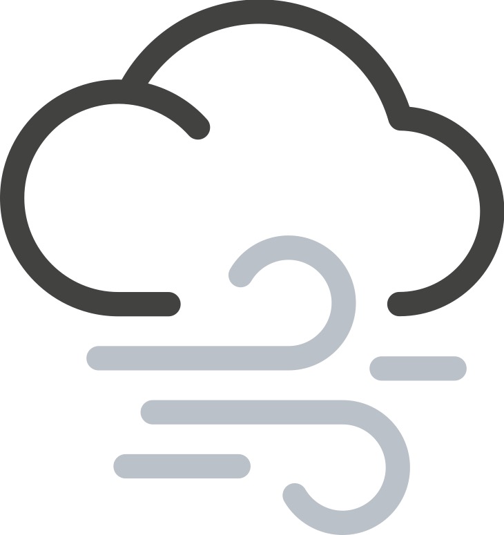
High wind warnings, wind advisories, high wind watches and coastal flood advisories in effect for areas statewide; Friday commutes could be impacted by gusty winds and icy roads, so leave extra time when traveling
Submitted by the Office of Gov. Kathy Hochul
Gov. Kathy Hochul today urged New Yorkers to exercise caution ahead of a storm system set to bring widespread rain and potential thunderstorms, strong winds and coastal flooding to the state beginning tonight through midday Friday. Localized urban and river flooding is possible, and cold air following the storm could result in snow and icy roads. Travel conditions will be dangerous on Friday, and winds may cause power outages and damage to trees Thursday night through Friday morning. New Yorkers should be sure to travel safely and leave themselves extra time to reach their destinations, particularly on Friday.
“New Yorkers are no strangers to bad weather, but it is always important to be aware of the forecast to be able to plan accordingly,” Hochul said. “As we gear up for holiday travel, New Yorkers should make sure their cars are packed and prepared with safety equipment like first aid kits and shovels, extra warm clothes, blankets and water. Drive slowly and stay safe as we head into the weekend.”
Rain will begin in Western New York late Thursday evening and move across the state throughout the night. Rain is expected to be most intense early Friday morning across the eastern part of the state with potential rainfall rates of up to an inch, and thunderstorms remain a possibility until the early afternoon. In the western half of the state, rainfall totals are expected to range between 0.25 to 0.75 inches with localized amounts of potentially an inch. The eastern half of the state can expect rainfall totals of 0.50 to 1 inch, with localized totals of up to 2 inches.
Along with the potential for thunderstorms, the potential for strong winds is also a concern with widespread gusts of 40 to 50 miles per hour possible statewide, with localized gusts up to 65 miles per hour. Winds coming from the south Thursday will shift to come from the west on Friday. Gusts will be strongest across Western New York, portions of the Mid-Hudson Region, and on Long Island.
Additionally, the backside of the storm system will usher in colder air allowing rain to transition to snow east of the Great Lakes and across higher elevations Friday morning through Friday night. One to 3 inches of snow is expected across Western New York and the North Country with localized totals of up to 8 inches possible. Snow may be heavy and wet Friday morning and could contribute to the concern about downed trees and power outages.
These conditions will also create the potential for hazardous travel. The cold air may also cause a flash freeze of wet roadways for the Friday evening commute creating a potential for black ice and slick roads.
In addition to preparing for rain and wind, New Yorkers should also prepare to protect against the dangers that can result from colder weather and winter activities. Under state regulation, a Code Blue is automatically in effect whenever the temperature and wind chill equal less than 32 degrees. Local social services districts are legally required to take necessary steps to ensure those experiencing homelessness have access to shelter and that shelter hours are extended. New Yorkers also should check out these cold weather tips from the Department of Health; additional tips for preventing frostbite and hypothermia information on carbon monoxide poisoning; information on the proper use of generators; and safe winter driving tips.
The New York State Department of Labor advises workers and employers to engage in extreme cold weather best practices such as:
√ Limit outdoor work, provide frequent breaks in warm areas, and schedule outdoor work during the warmest times of the day.
√ Ensure access to clean drinking water.
√ Stay hydrated with warm beverages and avoid drinking caffeine.
√ Wear proper PPE, including at least three layers of clothing, gloves or mittens, thick socks, insulated footwear and a hat, hood or hard hat liner.
More Information on best practices for working in cold weather can be found here.
High wind warnings, wind advisories, high wind watches and coastal flood advisories have been issued, and New Yorkers should closely monitor their local forecasts and look for updates issued by the National Weather Service. For a complete listing of weather alerts, visit the National Weather Service website.
New Yorkers can ensure that government emergency alerts are enabled on their mobile phones. They can sign up for real-time weather and emergency alerts that will be texted to their phones by texting their county or borough name to 333111.


1859 Whitehaven Road, Grand Island, NY 14072
Phone: 716-773-7676
Fax: 716-773-7190